States of Trails
Early on a Sunday, I reached the entrance to the Route of the Hiawatha, a rail-trail which had been recommended at least a dozen times.
Normally, it costs $12 to ride the trail, and lights are required. When I arrived, no one was there. I turned my phone's LED on, stuck it in my breast pocket, and rode in.
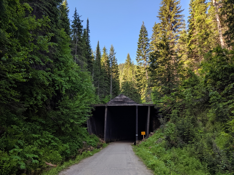
The Hiawatha begins with a tunnel over 2 km long, hence the requirement for lights. After pausing to let my eyes adjust, the phone LED was enough. Almost as soon as I got into the tunnel, I noticed someone's headlight up ahead.
"Good morning!" It echoed like crazy. No response. The headlight didn't seem to be moving at all, nor getting any bigger. They must've stopped for some reason. It was hard to tell how far away they were, so I approached slowly. But the light still didn't get any bigger, nor brighter.
Then it dawned on me: That's the exit to the tunnel. For now, it was only a white dot. We're gonna be here a while.
The surface inside got wet, muddy, and soft. By the end of the tunnel, several parts of Teeder had a layer stuck on.
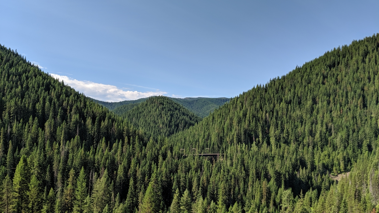
Every time someone told me about Hiawatha, they mentioned the tunnels. But my favorite part was the bridges. For one reason or another, no one had ever brought them up.
It wasn't until nearly the end of the trail, about an hour later, that I finally started seeing other riders coming the other way. I'd thought it'd be busy on a weekend, but evidently people like to sleep in.
It was a beautiful ride, but perhaps not so beautiful it's worth the $12 charge when riding anywhere else is free.
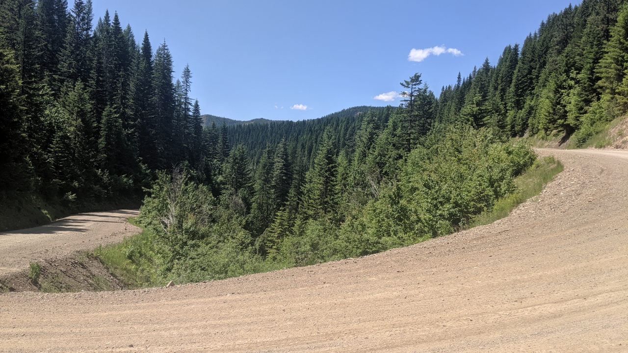
After finishing up the Hiawatha, you had to go up and over one last hill to get into Wallace and link up with the Trail of the Coeur d'Alenes. So this is the last hill, not the one a couple days ago. This time, no rainstorm on the way down.
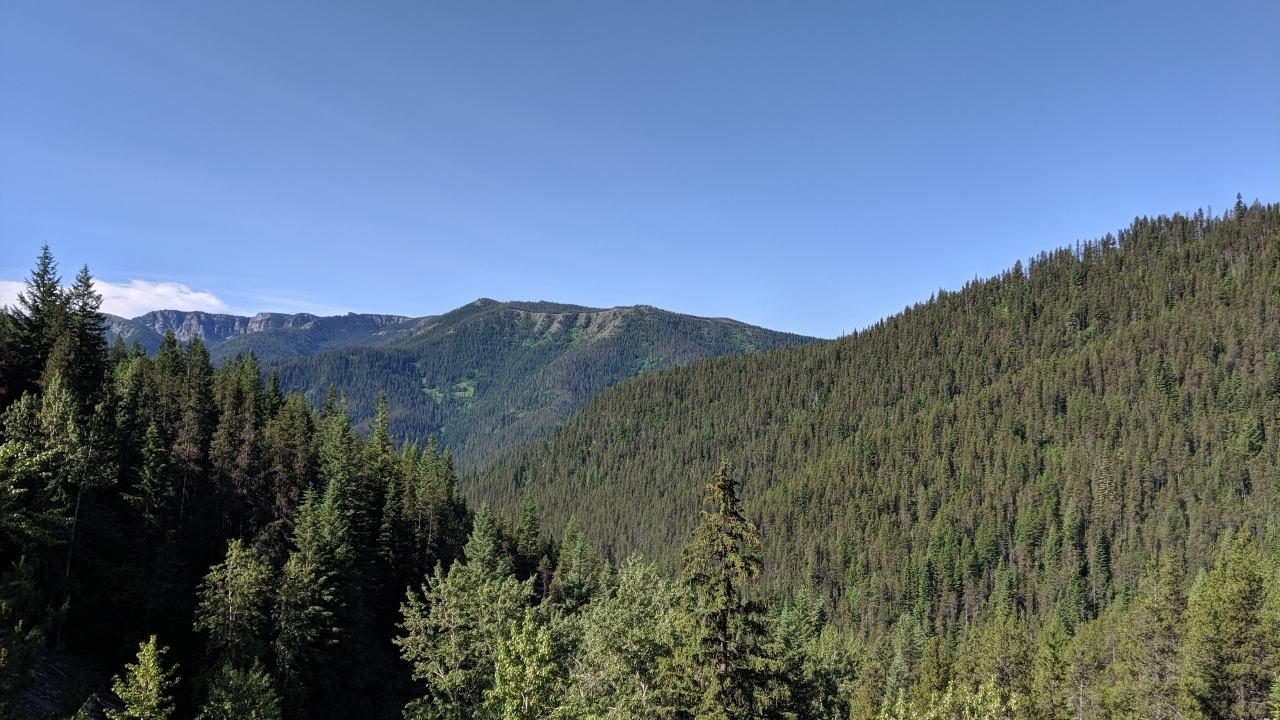
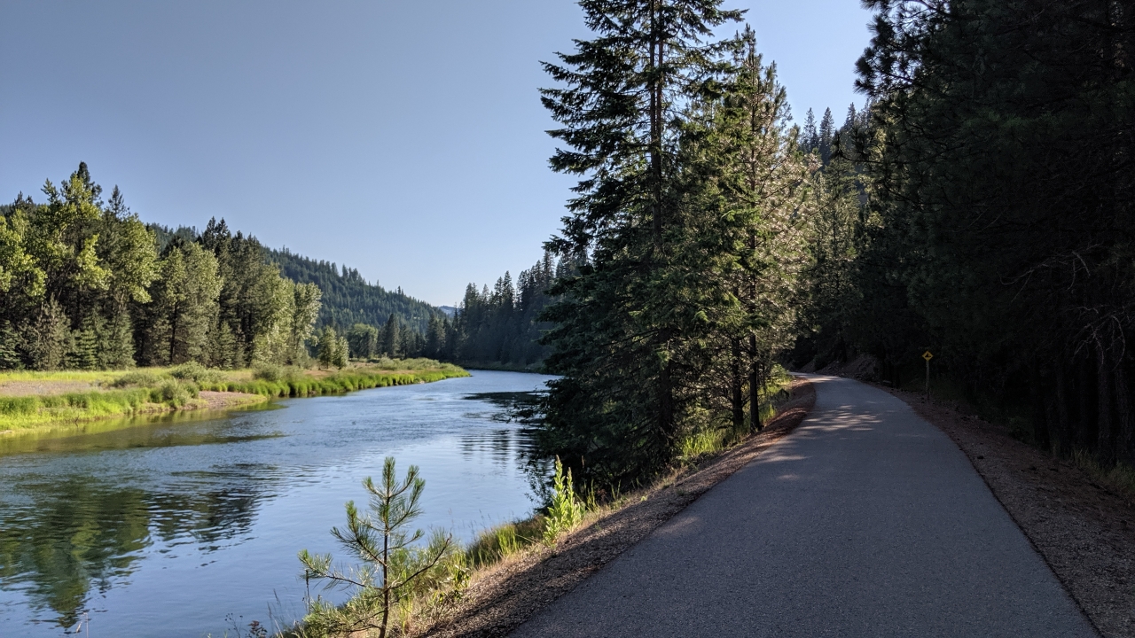
The Trail of the Coeur d'Alenes is a perfect bike path. Flat, paved, and stays out of the way of traffic. Has turns and curves here and there, but doesn't meander aimlessly. And a beautiful setting!
I didn't have to go terribly far, but I knew I'd have to wait until near sunset to set up camp. In late afternoon, I found a city park that had a gazebo with outlets. Plugged in and spent some time catching up on journals.
Not much later, a group of folks started grilling nearby and invited me over! Cheeseburgers, fruit salad, jalapeno cheese elk sausage, and cheesecake. And since there was plenty left over, they sent me off with one freezer bag of sausage and another full of fruit. Normally, perishables are something you can't carry, but it'd probably survive the night. I had an excellent breakfast the next morning.
Turns out the folks were Narcotics Anonymous, a group of recovering addicts. They'd gotten together for a fun day at the park and figured what the hell, let's invite that guy with all the stuff on his bike. How awesome!
The biggest problem with the Trail of the Coeur d'Alenes is lodging. In no towns are there standing arrangements for people riding the trail, like a church that takes people in or a city park where you can set up a tent. Also, the trail mostly cuts through privately owned land or goes alongside a waterway, so there's nowhere to camp. I managed to find a thick patch of trees between the trail and the river and set up a stealth camp. After the tent was up, I heard a few cyclists go by, but couldn't see them through the trees. Felt more comfortable after that. Walked down to the riverbank and scrubbed off before going to bed.
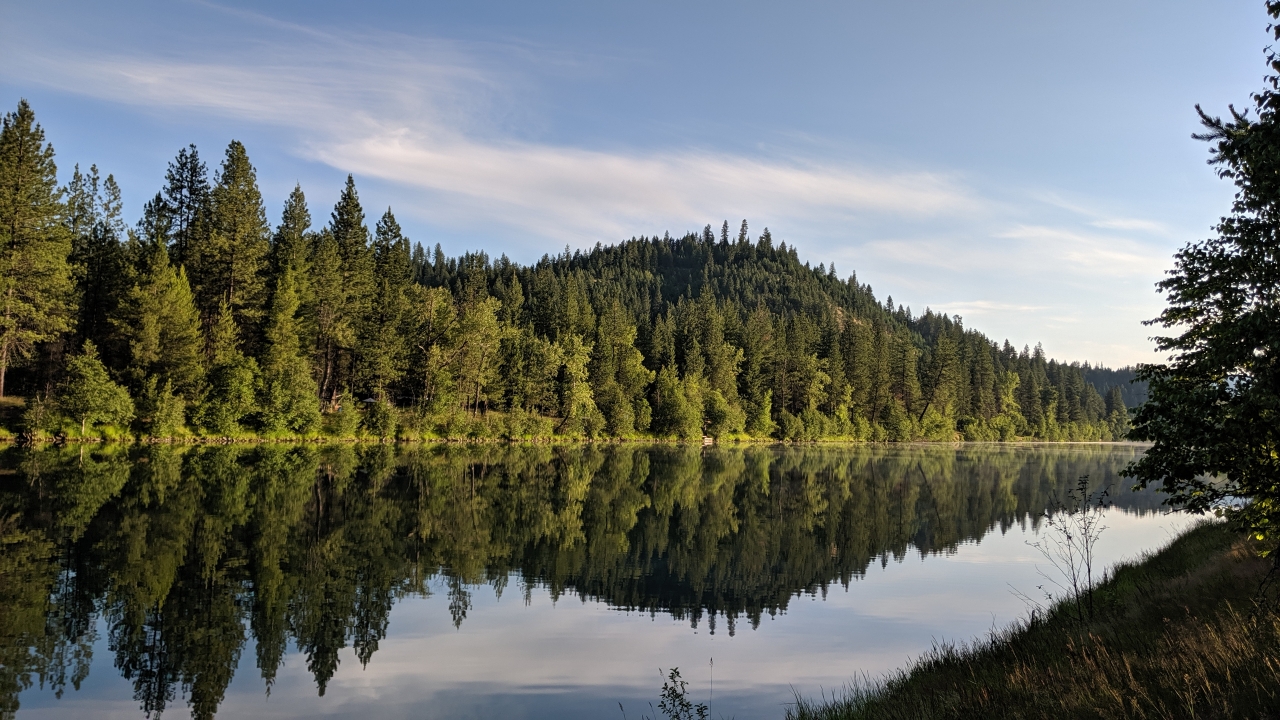
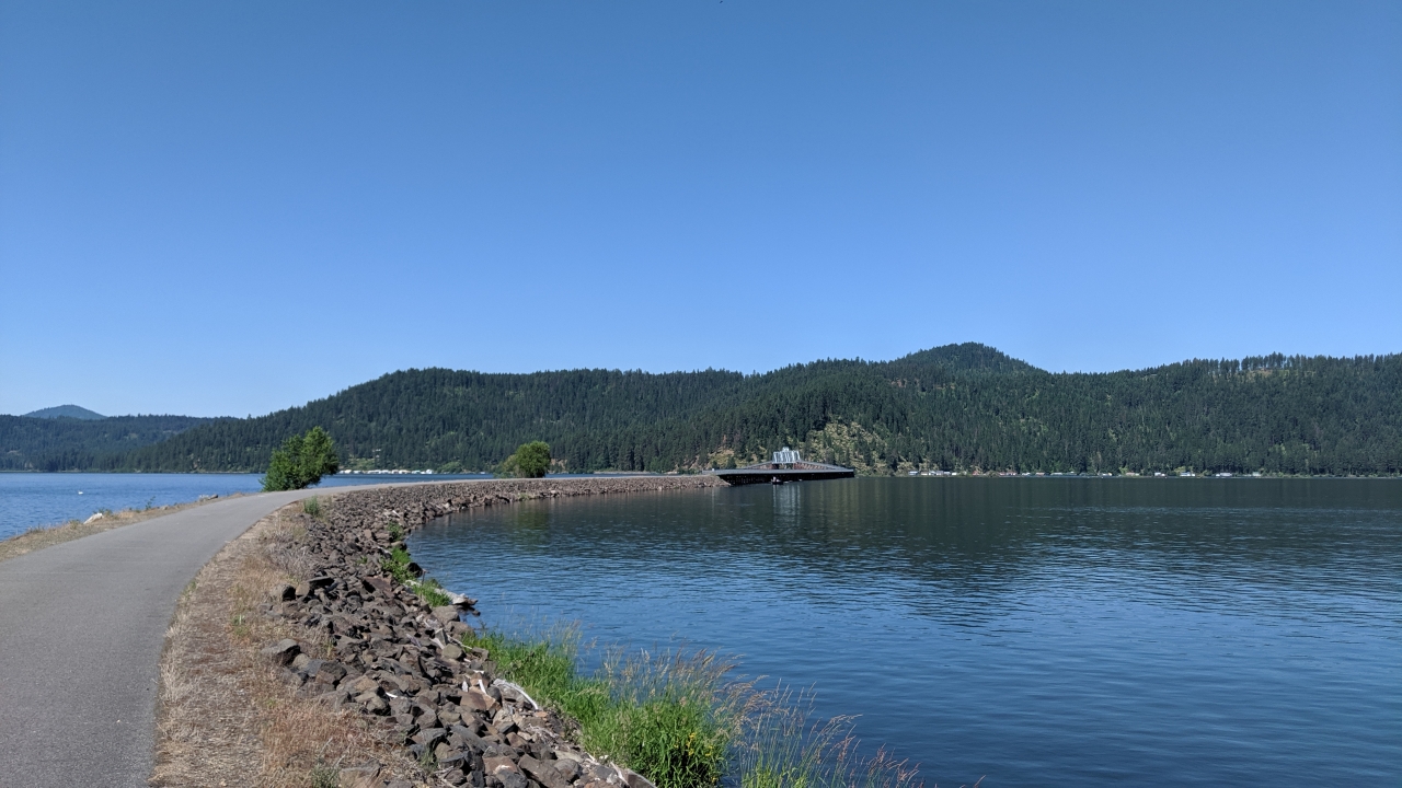
The Trail of the Coeur d'Alenes gets a little less scenic as you go west, with perhaps the exception of Lake Coeur d'Alene. About midday, I made it to Plummer, the end of the trail. Another trail was supposed to pick up just outside of town, but I couldn't find it. Oh well. It would probably begin in earnest in Tekoa, the first town I'd reach in Washington.
Once in Tekoa, suspicions were confirmed by a sign marking the end of the John Wayne Trail. OK, they probably haven't finished the connector into Idaho yet, so this is where the trail begins. I gladly jumped on.
Not much later, I got off. The trail had several outages (bridges down, etc.), some of which were documented, half of which weren't. In between, the surface varied from marginally rideable to un-rideable, and that's with a mountain bike. The "trail" would be better described as an exceptionally long pile of rocks which occasionally disappears into the weeds.
What a shame. What a missed opportunity. The path is there, but no development or maintenance has been done. In contrast to the claims, Washington doesn't have a rail-trail system. It merely has an abandoned railroad. After riding idyllic rail-trails for the past two days in Idaho, it was a disappointment. I'd been looking forward to taking rail-trails all the way to Seattle.
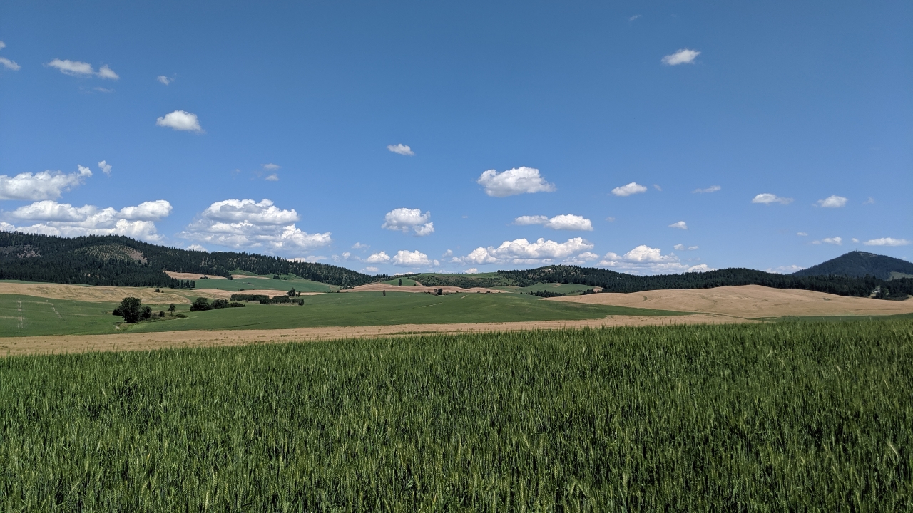
Instead, I decided to wing it on farm roads, which turned out to be a much better approach. Some were paved, others weren't. By now, I was used to dirt roads and sometimes preferred them.
The town of Rosalia allows camping in the city park, where the bathrooms stay open all night, and there's even a cold shower! That'll do.


 June
June

