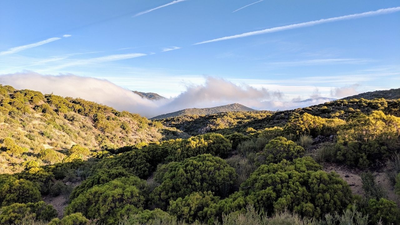
The area around Idyllwild is, by a long shot, the highest elevation the PCT reaches by that point. That meant a few things: For one, more trees. For another, less heat. But even though the hills weren't any steeper, I was hiking a lot slower. After almost an entire day, it finally clicked: the altitude was probably doing it.
I had to stop in Idyllwild, mostly to buy new tent stakes. The outdoors store had a hiker box, where I found a reasonable sun hat. I took it. Only a day later, and I had lost the hot pink bandana. My biggest regret is not getting a picture of myself wearing it.
After that, I stopped at the grocery store, only to buy fruit and yogurt, and promptly ate it all. Other than that, no resupply; I still didn't need to after raiding the hiker box in Warner Springs.
There have been forest fires in the area recently, and as a result, the trail took a detour that involved road walking, sometimes paved, sometimes unpaved. I must admit I hitch-hiked around the part where you walk on a state highway with lots of blind curves and no shoulder. Not only is that dangerous, it's also not hiking the trail.
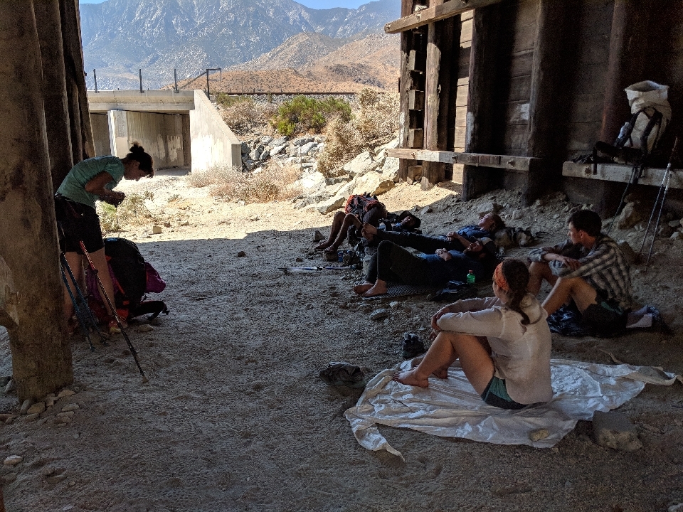
After that, an exceedingly long downhill to I-10. Long enough that it took seven hours of hiking. Under the overpass, I hadn't yet seen so many hikers in one place. I spent half my time there talking to one in particular. She was from Alaska, and she reminded me of someone - I simply couldn't figure out who. Not for a few days, that is. Then it finally occurred to me - one of my former math students. The last one I would ever pick a fight with. Not that she's likely to, but she could whoop your behind in half a second, then would probably help you back up.
On the trail, the I-10 corridor is infamous for its furnace-like heat. This is as a result of being the lowest point, thus far, on the PCT, only a few dozen km after the highest point thus far. While there, I got a phone signal and checked the weather report for the day. Today, the high was going to reach 37 degrees Celsius. Tomorrow, 41 degrees Celsius. Might as well keep moving.
Mile-for-mile, the AT has more climbing then the PCT. However, the longest sustained climbs on the AT are only about 10 km. On the PCT, more than 50 km can and will happen. No matter how steep the hill is, 50 km of climbing will make you tired.
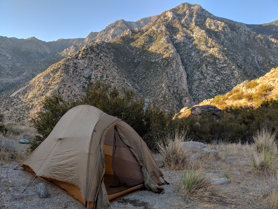
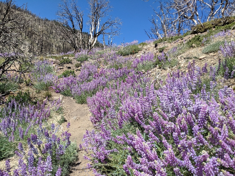
Halfway up, the trail thankfully hugged a creek for a while, which meant shade about 20% of the time. At that point, I was glad to take it. Many tired hours later, upon reaching the top, the air was cooler and the wind had picked up. There were lots of pine trees, or at least what was left of them. At some point, there had been a forest fire in this area, too. Otherwise, the trail would have had a lot more shade.
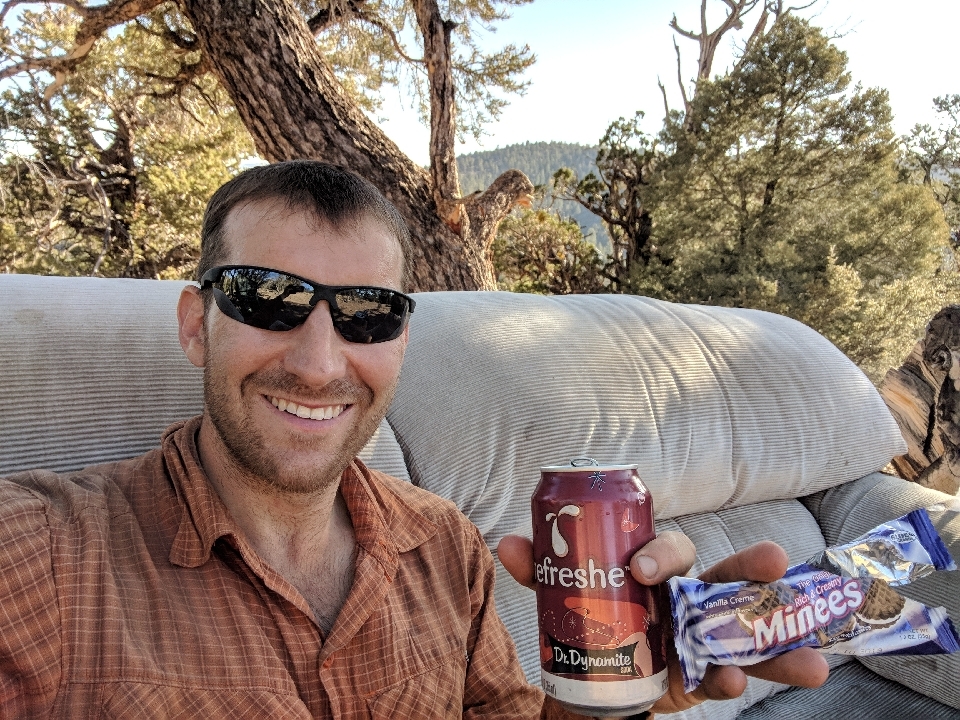
It's a good day when you're on the receiving end of Trail Magic twice in one day. In early afternoon, I happened to come across a search and rescue team finishing up their lunch. I wound up with a free roast beef sandwich and got to talk about the trail ahead with Skittles, a 2016 PCT alumna. Later, at some random spot in the woods, was a sofa and a dumpster full of sodas and cookies. I happily helped myself.
Since I started the trail much later than most would, I was fully aware I wouldn't see nearly as many hikers as on the AT. Still, since 50 permits are issued per start date, and I'd gotten the very last one within a window of 12 days, I expected to see more than I have. As I'm pushing long days early on, I'd been worried that I'd arrive at my planned destination just at dark, and all the flat spots would already be occupied. Not only has that not happened, I haven't truly camped with anyone at all.
That said, I've been passing other hikers more and more frequently, so I'll probably continue to see more at I inch my way closer to the bubble. Or will I? People tend to drop out along the way. I wonder if you could catch up at the same rate that hikers drop out, so the number of people you encounter will stay about the same. This sounds like an excellent related rates calculus problem.
After 266 miles, I finally come into town for a deserved half day of rest. I stayed at a hostel where the hiker box was so full of goodies, just like in Warner Springs, that I didn't bother with the grocery store. Will I have to resupply at all?
After taking the first shower of the hike, I realized something. Most people would say after taking a shower, they feel normal again. When you do a hike like this, after taking a shower, you feel different.
There were only a few other people in the hostel: a couple from Germany, Scotty, from Massachusetts, and Sam, from Quebec. So we had four different languages spoken: German, french Canadian, noo-wahtheastahn, and Texan. I did some laundry, cooked a pancake dinner, and finished reading Tuesdays With Morrie cover-to-cover. I don't know if it taught me anything I didn't already know before, but it gave me some fodder to think about on the trail.


 June
June

