Runnin' Against the Wind
After a restful night in "Cell 140" at the Jailhouse Motel, I got breakfast in the restaurant next to the casino. Stuck to the omelette theme and got a country omelette, one with sausage and white gravy. Came with hash browns and a scone. Not bad for $7.
Out of Ely, there was...wind, again, and starting late after having breakfast didn't help, as the wind typically picks up in the afternoon. Mid-morning, I could see a guy in a neon jacket standing in the road, with a car pulled over next to him. When I got closer, I could see that he was wearing a sun hat and was pushing a baby stroller, loaded with a bunch of stuff. He was walking across the country.
As you might expect, he spends most nights camping in the wild in this part of the country, since it takes 4-5 days to make it to the next town. That also means he carries a ton of water. I wonder what that's like pushing uphill? Hills generally affect bikers more than hikers (when a hill's too steep, you walk, not the other way around), but even so, he has to push more than I do, and has to do it with his arms.
Turns out he has no backpacking experience, so I gave him a couple tips, even though road walking is different from the kind of hiking I've done. He had the idea that he'd do the New England section of the Appalachian Trail in November, but I had to break his heart and tell him November would be impossible starting in New Hampshire. He gave me a high-five and told me to catch the beautiful German cyclists up ahead.
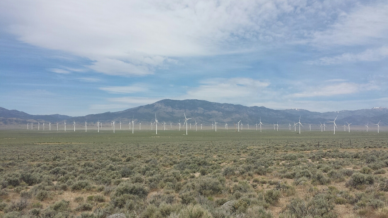
The road zig-zagged around mountains a lot, so part of the time, the wind was at your back, but just as often, it was right in your teeth. More often, considering you move slower on headwind, so you spend more time fighting it. I eventually caught the Germans, who had the idea to do a coast-to-coast ride, but had changed their plans since they wouldn't be able to finish before their travel visas expired. They were planning on staying in a hotel outside Great Basin National Park, where I was planning to camp.
Once I made it to the park, I went to the Visitors Center to ask if there were camping spaces available. They didn't know.
The summit area, where all the hiking and good views are, is at an elevation of ~3,300 m. The Visitors Center was at ~1,800 m. I found a friendly guy, about my age, in the Visitors Center, and just like that, I had a ride to the summit.
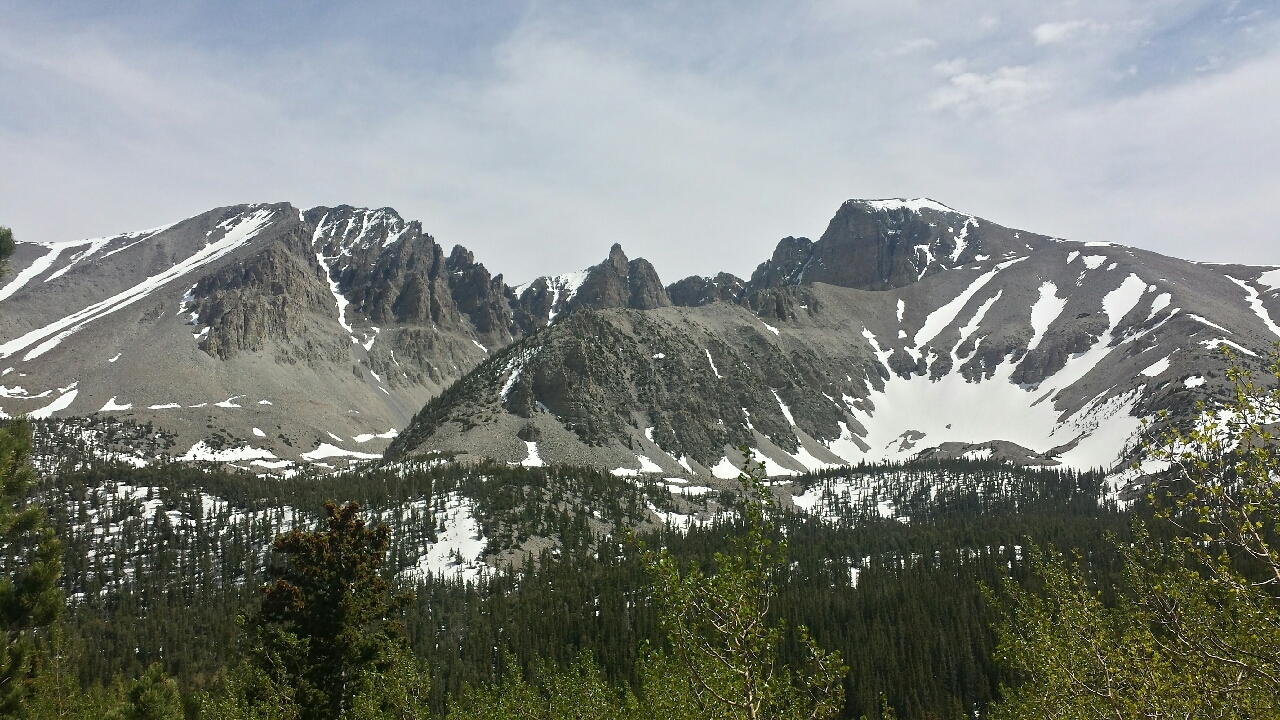
Max turned out to be a physics teacher from Atlanta. Like me, he was disappearing for the summer, seeing the country, only he was using a car. As such, he was able to take his time in the cool places. I was jealous of that part.
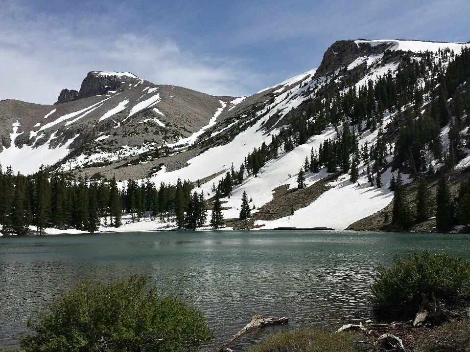
Max and I went ahead and hiked a loop near the summit, mostly together. He didn't want to do anything too strenuous because he'd hurt his foot hiking and wanted to give it a chance to heal. I would've struck out on a more challenging trail, but even the one we were on was buried in snow to the point that it was difficult to find. All of the other trails went higher up the mountain, where there was more snow. Pass. Besides, any hike that includes an alpine lake is a good one.
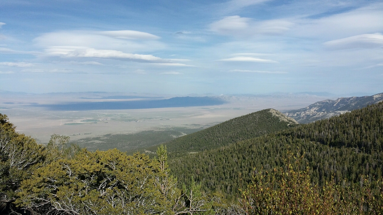
I let Max drive back to the campsite alone, rather than loading Valeria back in his car again. It sounded fun to coast down 1,000 m to the campground anyway. Max told me which one he was staying at, but I never found him. Shame. Hope his trip continued to go well.
Instead, some neighbors offered a beer, and some other neighbors offered roasted marshmallows. Can't go wrong with either of those! I retired to my tent happy, with the wind still howling even past dark.
The wind had finally become still by morning, but once I'd coasted out to the main road again, it had already started. 30 km/h, at least. It wasn't even 8:00 AM yet.
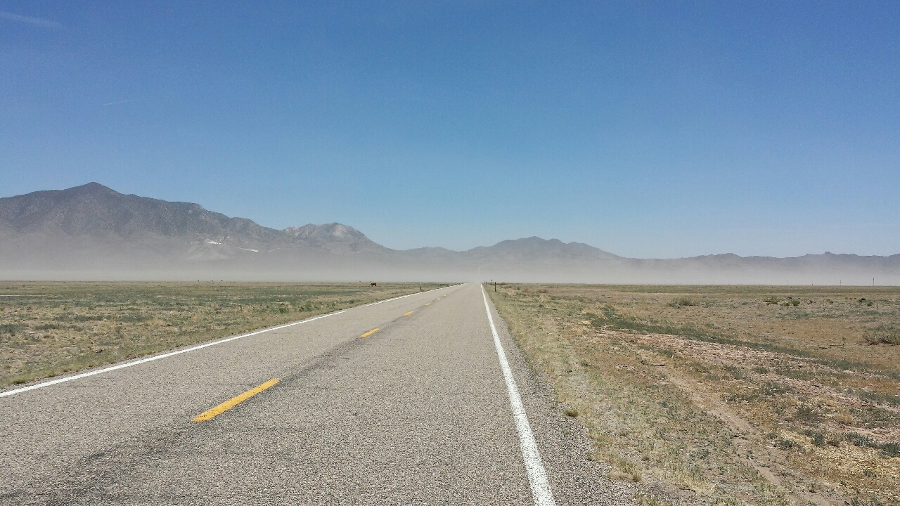
For the first half of the day, the road sent me directly into it. I put my head down and pedaled. Then the road turned left about 45 degrees and stayed that way for the rest of the day. The wind picked up to about 60 km/h, with gusts that were probably near 100 km/h. I put my head down and pedaled. Even while leaning to the right, a gust sent me from shoulder to yellow stripe. I put my head down and pedaled. There were three major ridges to cross, each involving a steep hill that lasted over 10 km. I put my head down and pedaled. A dust storm blew through. I breathed through my nose, put my head down, and pedaled.
At long last, I arrived in Milford, UT, where I had a WarmShowers host. She had told me exactly where her place was, and that it was a big yellow house, but...was this it? It was too big. This wasn't a house...was it?
I called her. It was. She came home from work for a minute, let me in, and made up my bed. Turned out this was the oldest building in town, and at various times had been a hotel, a schoolhouse, and a municipal building. In the past year, she had lost both her husband and her son. For now, she worked in a restaurant, but had the idea to turn the place into a bed and breakfast. It had that look already; I figured she had no reason to wait!
Renee eventually came home from work for good, and for the rest of the evening, we were both mostly quiet, until she showed me her husband's man cave. Full of trophy bucks, knives, and native American artifacts, most of which he'd found. The kind of room my brother would enjoy.
The forecast for the next day called for the same kind of wind, in the same direction. The route was more directly into it this time.
I got my earliest start so far, still later than I'd like, but close. The wind was still almost entirely dead. But that's what happened last time.
I managed to make good time for most of the day, and the wind wasn't bad until after noon, when I had to do about a dozen miles directly into it. Still, I got to the intended destination hours earlier than I'd thought I would.
Bryce Canyon was only 30 miles away, and was less directly into the wind. Did I have the legs for it?
What might've been the difference-maker was a family from Salt Lake City that gave me an enormous bag of Peanut M&Ms and some ice water. Just what I needed! I headed south.
Before getting to Bryce Canyon, you go through Red Canyon, a scenic drive through, you guessed it, a canyon, with a lot of red rocks. That shielded most of the wind, so once in the canyon, things were goin' good!
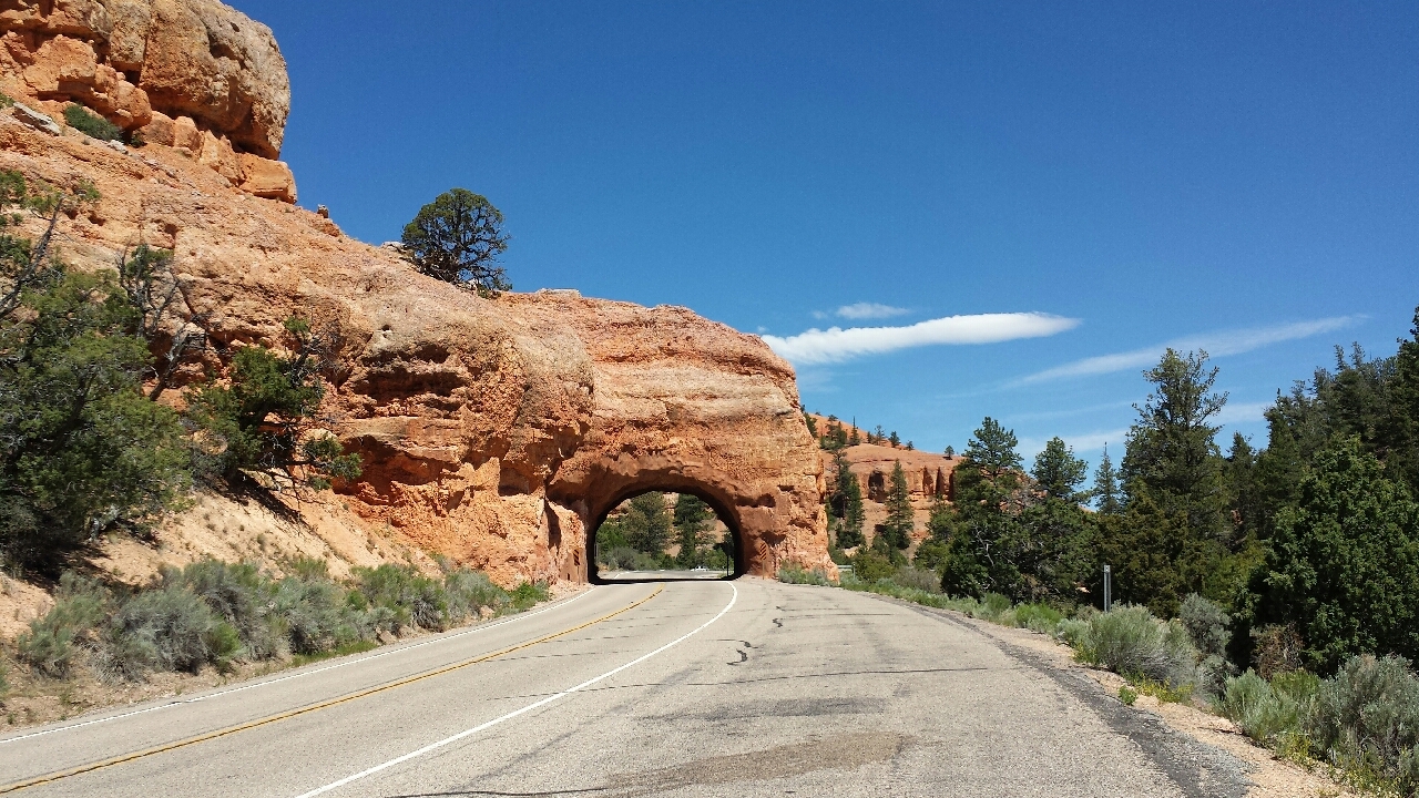
In Red Canyon, there are turnouts all over the place, often at a particularly picturesque spot. While I was taking a picture at one, a family invited me into their RV for cold water and air conditioning. I couldn't resist. I stepped inside, took off my helmet and gloves, and happily refilled my other bottle with cold water. What a treat! Normally, my water gets increasingly warmer, until I'm drinking warm water at the hottest part of the afternoon.
After talking for a few minutes, we parted ways. I stepped out of the RV and started putting my water bottle back as they pulled away in the opposite direction. I looked at my handlebars.
Hey, where's my helmet? ...oh no...
With the helmet in the back of their RV, they could be in another state before they realized what had happened. It was gone. Fortunately, there's a separated bike path that leads all the way from Red Canyon into Bryce Canyon and all throughout the national park. I'd be safe for the rest of the day, but tomorrow, when I would get back on the highway, would be another story.
Outside the park, I found a shop that rents bikes. I went in and convinced them to sell me one of their rental helmets. Price: $18. Not the best helmet, but it would do. For now.
When I reached the Visitors Center, I asked if there were any campsites available. They didn't know. Seems like important information; why don't national parks keep track of it? I visited all the campgrounds in the park. Full. I'd have to come up with other arrangements.
As long as I was in the park, I rode to each of the overlooks and spent some time with the view. I could try to describe it, but there's no point. Regard:
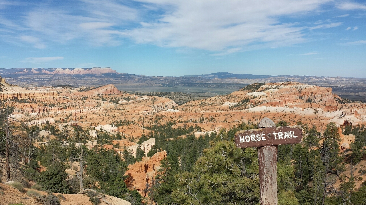
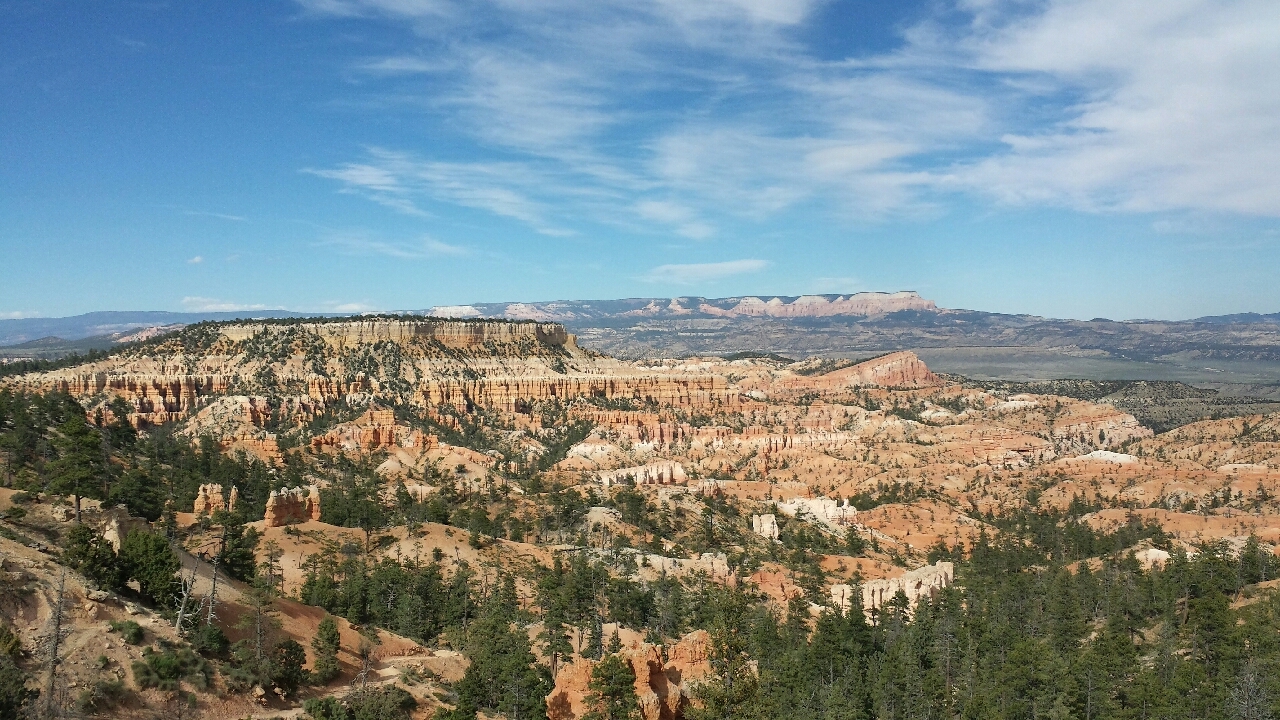
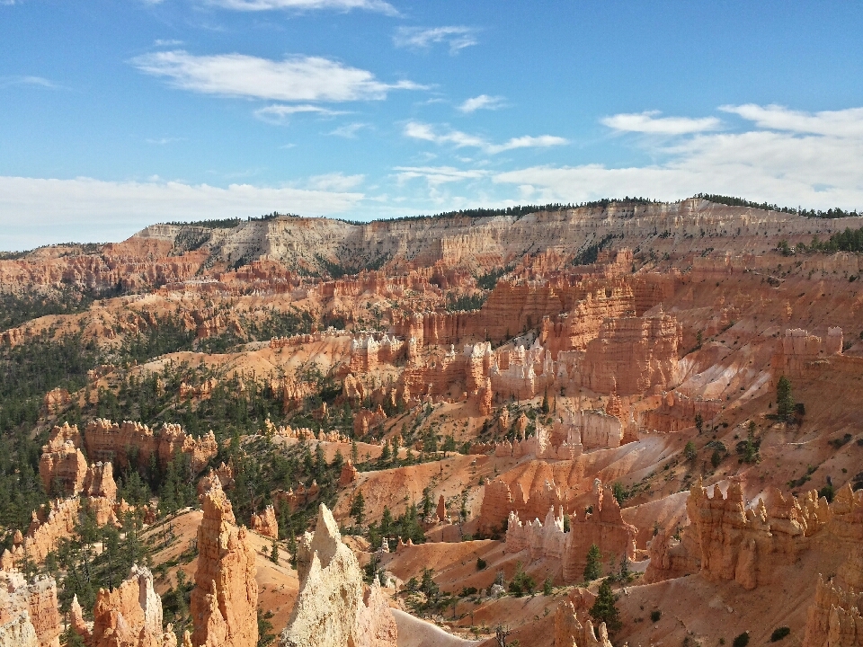
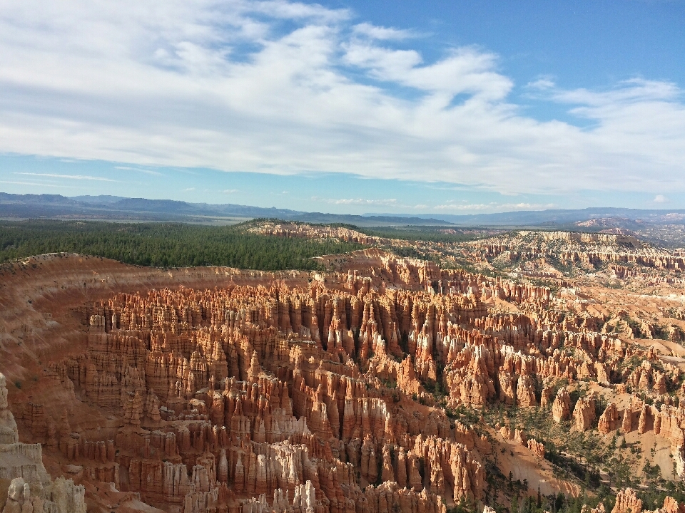
You can spend 20 minutes in any national park in the western states and get better scenery than the entire Appalachian Trail combined. As a bonus, it rains once every few weeks, not two out of every three days.
Just as I made it to my last overlook of the day, I bumped into two young women named Hillary and Gabriella, or Triangle Nose and Mama Bear. Gabriella was in the process of moving across the country, and along the way, she and Hillary were taking in the sights together, including all of Utah's National Parks. They eventually have the lifelong goal of visiting every national park. Hard to pull off!
The funny thing about them is they have opposite approaches to camping. Hillary likes to camp first class, while Gabriella is all about efficiency. There's certainly a place for each. You can hike comfortably or you can camp comfortably. It's hard to do both. I come down on the efficient, hike comfortably side of the argument, but I gotta say I love camping with my brother, who's firmly on the camp comfortably team. The funny thing is Hillary has hiked the entire Pacific Crest Trail. You'd think she'd be the one with the efficient approach.
Before parting ways, Hillary and Gabriella gave me about as much food as I could carry, including an entire box of Triscuits, a bag of Babybel cheeses, two packaged salmon filets, half a bag of turkey jerky, three granola bars, and two pouches of ready-to-eat soup. It barely fit on Valeria. Which is a good problem to have, because the best way to solve the problem is to eat. I was gonna a eat like a king tonight.
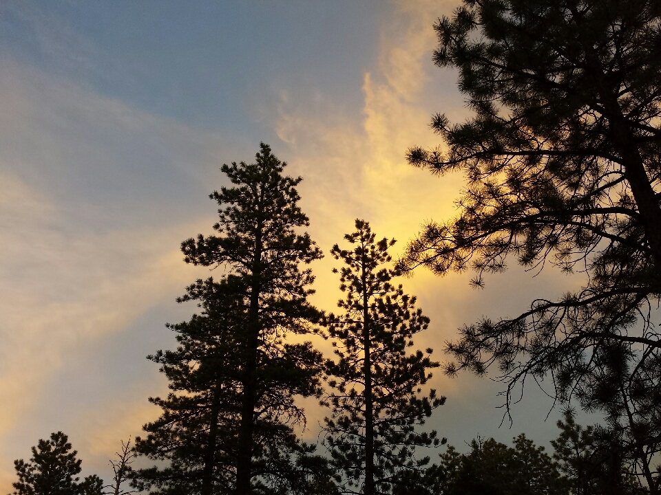
By the time I finished seeing all the overlooks, sunset was only an hour away. I could ride back out of the park to a private campground, but it would be almost dark by the time I got there, and I'd still have to register, pay, and set up the tent. And I'd have to ride back into the park in the morning if I wanted to squeeze in a short hike before leaving. Instead, I found a place where the bike path steered away from the main road, with about 200 m of trees in between. Then I darted into the woods in the opposite direction, until I couldn't even see the bike path...and then continued another 100 m. I found a flat spot padded with pine needles, nestled in between a few trees. It was quiet. I've had worse camping spots. This would do.


 June
June

