Steep
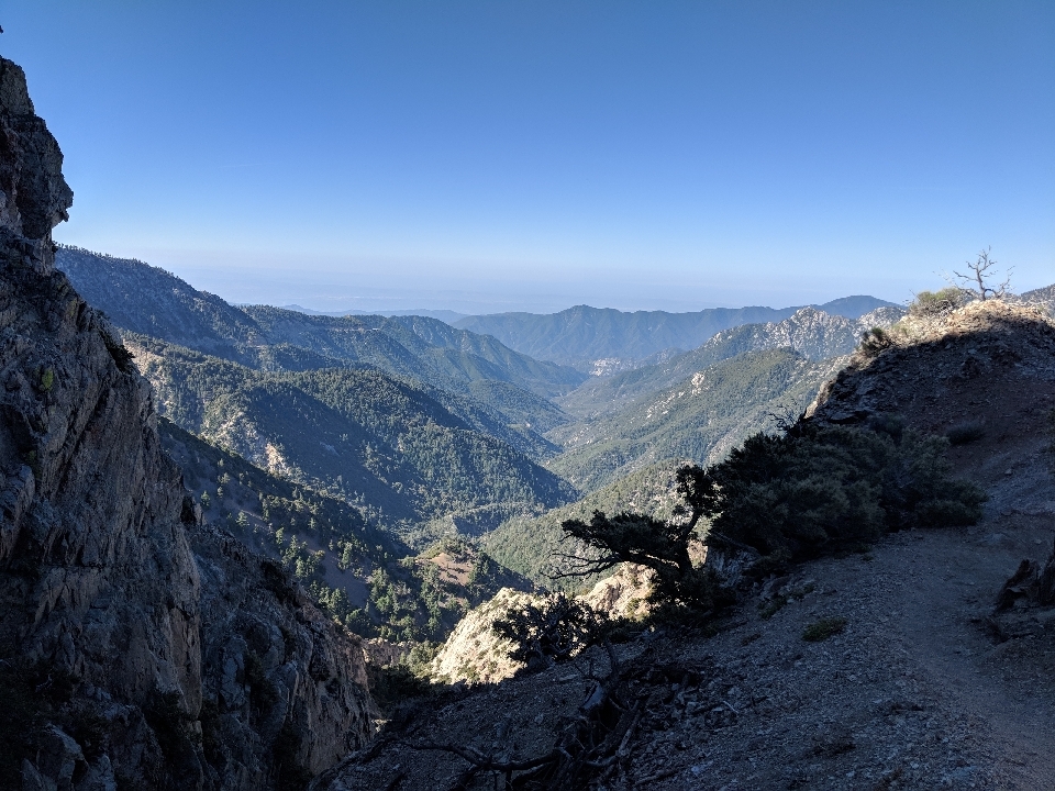
Mile for mile, the San Gabriel Mountains have more climbing been any other section of the Pacific Crest Trail. More than the Sierra, more than the Cascades, a lot more than in some places. The hills don't reach the highest elevation, but the trail is almost always going up or down, often quickly.
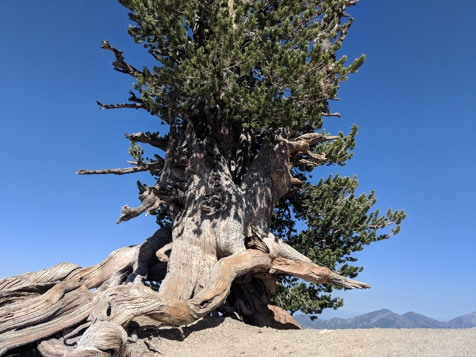
Case in point: the 30 km climb out of Cajon Pass. Or the six km, 1,000 m climb that appeared the next day. Or the just-as-steep descent that came afterwards. According to a local, that six km climb involved no less than 41 switchbacks. I believe them. At the top, just shy of the summit, was a 1,500 year old tree, sitting there on its own, right where it seemed like it didn't belong.
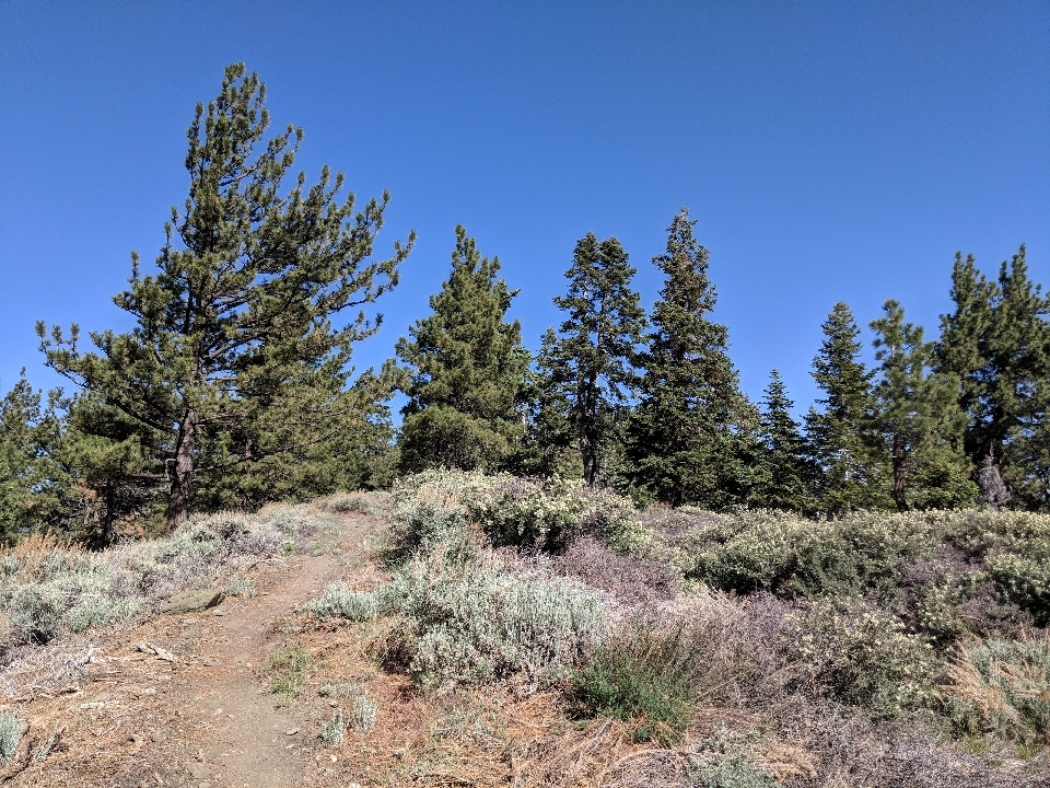
In this area, with high elevation often comes shade. Mostly for that reason, I was happy to be up in the trees again. The area reminded me of that around Big Bear Lake, which in turned reminded me of the area around Idyllwild. I suppose that this point, anywhere with trees looks similar. In contrast to the AT, which was entirely forested and always looked the same.
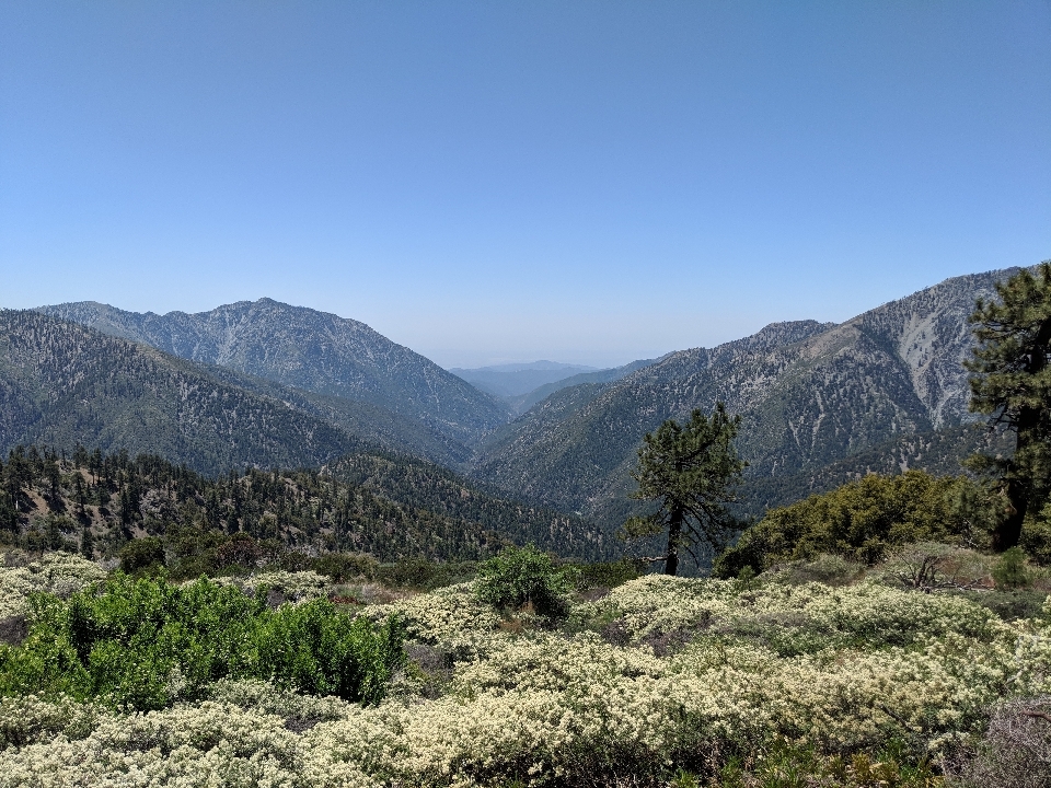
One thing I was anticipating was getting an excellent view of the L.A. area from up on top of the hills. On a clear day, you're supposed to be able to see the ocean, or even past that, to Catalina Island. That didn't happen, because of something I'd forgotten about: L.A. smog.
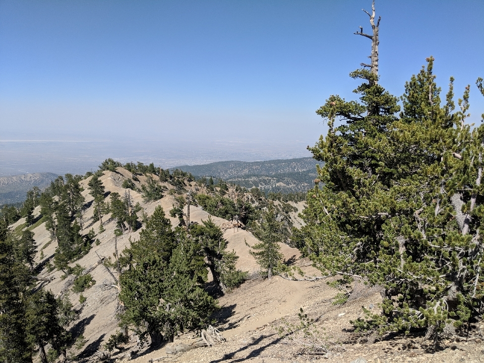
On a bad day, it gets so thick you can't see the top of a tall building from ground level. No wonder I couldn't see miles away. Next time you hear about another "crazy" environmental regulation in California, understand that this is their daily reality, and they're doing everything they can to fix it.
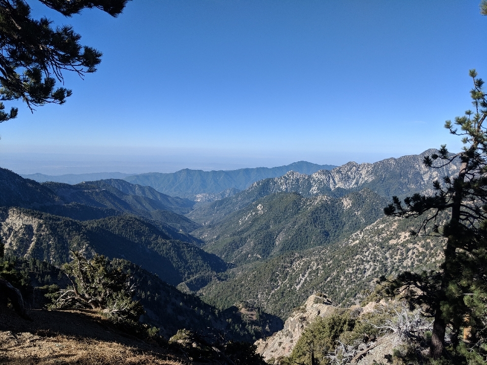
Well there were no more mega-hills in the second half of the San Gabriel Mountains, there certainly weren't any flat spots either. Every day involved hill after hill after hill. One night in particular, I camped behind a fire station with about six other guys. There was a pizza place in the town 30 minutes away that would deliver, and they didn't even charge a delivery fee. However two one-topping pizzas cost $50. For $25 each, you better be able to land a plane on these pizzas. But no, they weren't even extra large; they were merely large. One person could eat it if they were hungry. And that was after getting the hiker discount!
I've been meeting more hikers recently, and more of them hike at my pace, or at least fairly close to it. One of them was an Aussie named Roadrunner. I guess the Coyote finally caught it. Another was a guy named Brad who whistled in public. People who do that have something pathologically wrong with them. Others included Brother John, Art, Pickleback, Doc, and Wayward.
At one point, there was the option to hitchhike into Wrightwood, A-Town 6 miles off the trail. I had a choice to make: I could hitchhike into Wrightwood to resupply, or by bypassing it, I would probably arrive in Agua Dulce one day earlier. If I did that, I might have just enough food to make it. That's what I did.
By the end of that stretch, I had to ration. I could no longer eat when I was hungry; I had to eat but was allotted for each meal. Here and there, a few weekend hikers handed me a granola bar or a banana. If not for that, it would have been harder. With a day and a half to go, I realized I had enough food, and started eating when I was hungry. Suddenly, it felt like the difference between the last few miles of a marathon and the first few. I had the motor running again.


 June
June

